This commonly involves a preliminary desk-based report of the archaeological potential for a site, as well as further intrusive works on site. These can be planned in context with the survey requirements of other departments and ensure that all surveys for a site are undertaken without unnecessary delays.
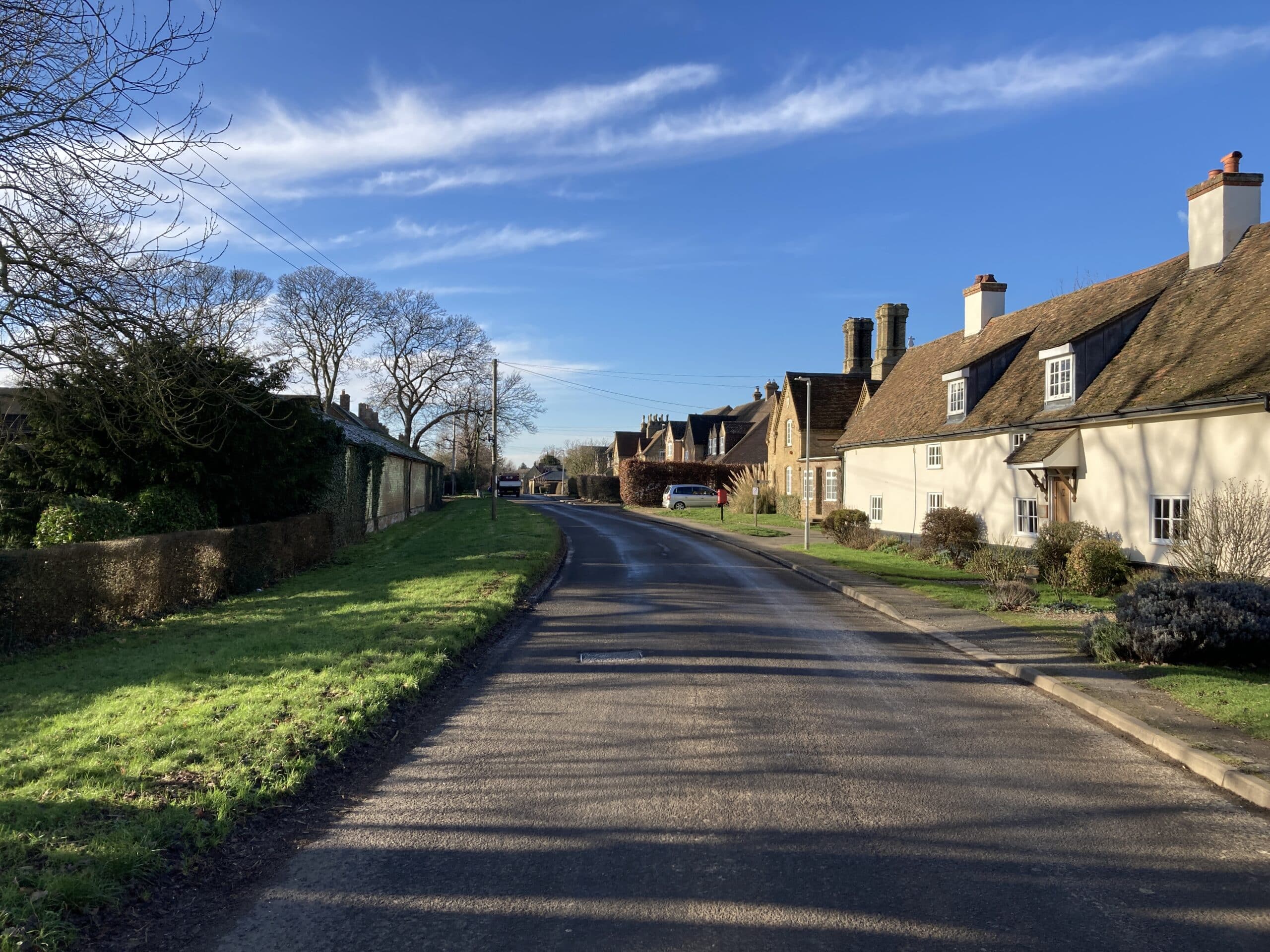
An Archaeological Desk-based Assessment (ADA) is a report which identifies the designated and non-designated heritage assets within a range of a given site, evaluates their significance and the likelihood that remains may be present within a site, and the potential impacts by a development to these possible remains.
Designated heritage assets include known features such as Scheduled Ancient Monuments. Non-designated assets refer to any finds from previous archaeological works or any notable features within the surrounding area. These are usually requested in the form of Historical Environment Records (HERs) from the local authority.
Another component of an ADA is the regression analysis of historical mapping of a given development site, for any change in land use or to spot features not present on any modern mapping. These are requested from local archives or obtained from online resources.
This report commonly comprises the first step in the archaeological process for a planning application. If the likelihood of features on site or the impact by the development is considered high enough, the report will set out a recommended course for any further works, although the definitive course of action will be determined by the Planning Archaeologist.

A Heritage Statement is a document which assesses the impacts of a proposal on the significance and setting any designated heritage assets by a given development. These most commonly comprise Listed Buildings within or in close proximity to a site, or Historic Conservations Areas if the site is located within one. The physical impact, as well as the visual impact of a development will be taken into account.
Planning conditions may often refer to the need for a Written Statement of Investigation (WSI). This is a document that is required for any further archaeological survey, which sets out the proposed scope of works to be undertaken. A WSI must be summited to the LPA and approved before any site works can be undertaken. Often, a planning condition may refer to the need for a WSI, but not clarify what works the WSI must specify.

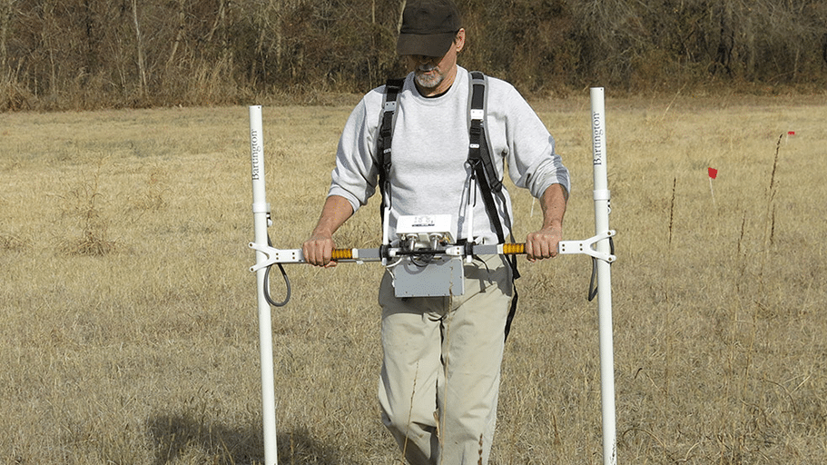
This comprises a variety of simultaneous remote sensing methods to non-intrusively survey a site for any below-ground remains, prior to any excavation works. The most common methods are ground penetrating radar, electrical resistivity, and magnetometry.
A buried feature such as a wall, will have a lower level of metal or moisture than the surrounding natural soil, and will therefore resist and electric flow, and cause less fluctuation to the magnetic field. On the other hand, a fill of a buried ditch will support a high level of metal or moisture compared to the surrounding natural soil, therefore will result in a higher conductivity of electricity, and cause a greater fluctuation in the magnetic field.
These anomalies can be scanned and mapped using software, and help identify the nature of any buried remains and be used to aid any further intrusive works.

If the archaeological potential of a site is considered low, this is a precautionary method which will be set as a planning condition. It involves an archaeologist being present during the initial ground-breaking works in order to carry out a formal observation, investigation and recording of any remains found. This may also be called Archaeological Monitoring.

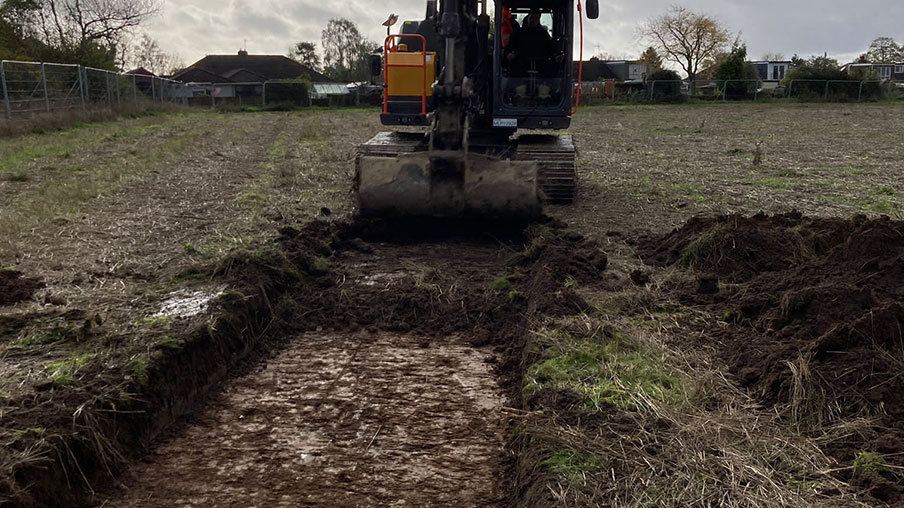
Our archaeology team is experienced in a range of methods to investigate an area to understand the nature and extent of any remains on site. If a desk-based assessment concludes that there is potential for below-ground remains on site, a process of archaeological evaluation will be required. Also referred to as trial trenching, this involves the digging of a series of trenches to establish with as best confidence as possible the presence below-ground archaeological remains. The number of trenches required is usually calculated as a percentage of the site area, usually at 4%. An evaluation may be required prior to determination, or set as a condition, depending on how sensitive the site in question is.

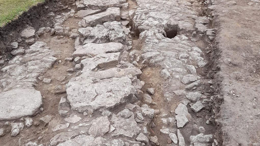
Should significant remains be found in site; further works will be requested in order to fully establish their nature and extent, an recommend suitable mitigation for a proposed development. A full excavation sets out defined research objectives, with formal examination, recording, and deposition of finds to the local museum or archive and establishes whether plans can be altered to remain in situ, or allow a full record of the features present prior to their loss by the development. This is commonly set as a planning condition.

We’re very pleased to welcome Marc to our expanding Landscape Architecture team here at Brindle & Green.

We are excited to announce Brindle & Green’s latest step forward — the expansion of our services into Flood Risk and Drainage. Welcoming two new members of staff.

You may have seen earlier in the year that B&G now has Bee & G – our own honey brand. To bolt onto that, we organised for the entire company to attend bee keeping workshops to learn all about it!